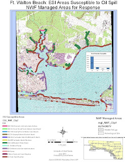
I chose the area around Fort Walton Beach. It is actually tile 17 in the South shoreline and bay area of Oskaloosa County, FL.This is the first of 3 maps. I have highlighted the ESI Areas of greatest susceptibility to oil. I tried to use appropriate colors for the areas. I also have included Management Areas for easier access to Fedeeral and State help.

No comments:
Post a Comment